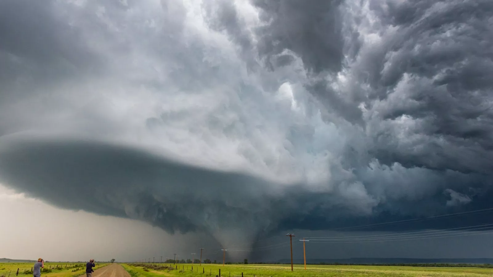
As the spring season surges forward, a dramatic uptick in severe weather activity has thrust parts of the United States into the spotlight. A recent weather map released by the National Weather Service (NWS) has placed Oklahoma and Texas on high alert, showcasing how these two states are facing the brunt of a triple severe weather threat—including tornadoes, damaging hail, and flooding rains.
A Dangerous Convergence of Threats
Spring is typically a volatile time in the Southern Plains, but what makes this current system especially concerning is the convergence of three powerful elements. The NWS has warned that the atmospheric ingredients are aligning in a textbook manner for severe thunderstorms to erupt. The classic setup—a combination of moist Gulf air, strong jet stream winds, and a dry line separating moist and dry air masses—has created a potent environment ripe for severe weather.
The threat is not singular. Forecasters have identified three major dangers unfolding simultaneously:
-
Tornado Outbreaks: There’s a heightened potential for both isolated and long-track tornadoes, especially across central and northern Oklahoma. The Storm Prediction Center (SPC) has issued an enhanced risk warning, indicating the possibility of EF2 or stronger tornadoes developing in populated areas.
-
Giant Hail: Some of the storms developing in these regions could drop hailstones larger than baseballs. Such hail has the potential to cause serious damage to vehicles, rooftops, and crops, especially in rural farming communities.
-
Flash Flooding: With repeated rounds of thunderstorms expected, the risk of flash flooding increases significantly. Areas in north Texas and southern Oklahoma could see rainfall totals exceeding 4 inches within a short time span, overwhelming local drainage systems and small rivers.
Visualizing the Impact: The Map at a Glance
The recently updated weather map from the NWS shows a stark red and orange swath blanketing large sections of Texas and Oklahoma. In these highlighted zones, meteorologists are urging residents to stay weather-aware and ready to act.
-
Red zones denote the most intense areas of concern—places where all three severe weather elements are likely to occur.
-
Orange zones indicate a high potential for at least two of the three threats.
-
Yellow zones, stretching into parts of Kansas, Arkansas, and Louisiana, face marginal risks but should still remain alert.
These visual warnings serve as a crucial reminder of how quickly weather conditions can shift, especially during a multi-pronged event like this.
Local Officials Sound the Alarm
Emergency management teams in both states have already activated severe weather protocols. In Oklahoma City, officials are preparing community shelters and urging residents to review tornado safety plans. Meanwhile, in Dallas and Fort Worth, Texas, schools are monitoring weather developments closely, with some districts ready to shift to remote learning if necessary.
“We’re dealing with a very dynamic situation,” said Kevin Stitt, Governor of Oklahoma. “Our agencies are working together to ensure that people have access to real-time information and safety resources.”
Similarly, Texas Governor Greg Abbott issued a statement urging Texans to keep close watch on weather alerts and to avoid driving through flooded roads, a common and often fatal mistake during flash floods.
Preparation and Caution: What Residents Should Do
With the threat level rising, meteorologists and emergency responders alike are reminding residents to take action now—not later. Here are several essential safety tips:
-
Stay Informed: Use NOAA weather radios, phone alerts, or trusted weather apps to monitor developments throughout the day and night.
-
Have a Safety Plan: Know where to go in case a tornado warning is issued. Basements, storm shelters, or interior rooms without windows are best.
-
Prepare an Emergency Kit: Include essentials like water, flashlights, batteries, medications, important documents, and first-aid supplies.
-
Avoid Flooded Roads: The rule “Turn Around, Don’t Drown” is critical. It only takes six inches of fast-moving water to knock a person off their feet—and just a foot to sweep away a vehicle.
Looking Ahead
Meteorologists believe the storm system could linger into the weekend, gradually shifting eastward. While the most severe impacts are expected in Texas and Oklahoma, parts of Missouri, Arkansas, and even western Tennessee may also see active weather in the days ahead.
“We’re in the middle of what looks to be a very active pattern,” said Dr. Laura Mills, a lead meteorologist at the SPC. “These types of threats, especially when they involve multiple severe elements, should never be underestimated.”
A Call for Awareness, Not Panic
Although the situation is serious, experts are emphasizing preparation over panic. Awareness, timely response, and trust in emergency alerts can go a long way in minimizing harm and saving lives.
So whether you’re in a high-risk zone or just nearby, this is the time to be proactive. The sky may look calm now, but with the right (or wrong) conditions, it can change in an instant.


